- Cherryvale, Kansas
-
Cherryvale, Kansas — City — Location of Cherryvale, Kansas
Coordinates: 37°16′5″N 95°33′3″W / 37.26806°N 95.55083°WCoordinates: 37°16′5″N 95°33′3″W / 37.26806°N 95.55083°W Country United States State Kansas County Montgomery Area - Total 1.6 sq mi (4.1 km2) - Land 1.6 sq mi (4.0 km2) - Water 0.0 sq mi (0.1 km2) Elevation 837 ft (255 m) Population (2000) - Total 2,386 - Density 1,537.2/sq mi (593.5/km2) Time zone Central (CST) (UTC-6) - Summer (DST) CDT (UTC-5) ZIP code 67335 Area code(s) 620 FIPS code 20-12925[1] GNIS feature ID 0469813[2] Website www.CherryvaleUSA.com Cherryvale is a city in Montgomery County, Kansas, United States. The population was 2,386 at the 2000 census.
Contents
History
Cherryvale was founded on the land of the Osage Indians who were pushed out by veterans of the American Civil War looking for land. The first white man to purchase property and settle here was Mr. Abe Eaton, who later sold it to the Kansas City, Lawrence & Southern Kansas Railroad which then became the Leavenworth, Lawrence & Galveston Railway. The town site was plotted by the railroad in May 1871—at a time in which the 1870 U.S. Census had already reported 435 pioneering men, women and children taking up residence on a location named for its beautiful spring cherry blossoms.
From 1871-1873 the Benders, later called the Bloody Benders, set up an inn outside of town and killed at least 12 travellers including one child. While the Benders hold a tragic and morbid story, they are famous in the area.
By 1880, the U.S. Census counted 620 Cherryvale residents, a number that swelled to 3,472 by 1900.
In late 1903, Cherryvale was deeply affected by the death of its city marshal, William G. Jones, who was shot while attempting to serve an arrest warrant to a local resident. On the day of his funeral, the entire community closed as all residents attended his funeral.
The town grew exponentially as a railroad hub, becoming a leader in zinc mining, glass and brick production. The Edgar Zinc Company was once the world's largest zinc smeltering facility. By 1920, 4,698 people called Cherryvale home, and in 1925 the community featured 20 groceries, 10 restaurants, 2 theatres (the Liberty Theatre and the Royal Theatre), 11 churches, and a "Cherryvale Business College." There were also six brick plants that used the abundant natural gas of the area to fuel their kilns cheaply. Cherryvale once lay on the 90-mile route of the electric interurbans run by the Union Traction Company, with trolley tracks occupying the center of Main Street until 1947. Local boys during the 1930s liked to "soap" the trolley rails as a prank, halting the progress of interurban cars until a motorman climbed down and applied sand. By 1940, the local brickyards had ceased production, and population declined to 3,185 inhabitants. Since the 1970s- with the loss of light manufacturing firms- the number of the town's residents has dwindled further. The high school ball teams were renamed the "Cherryvale Chargers" because the original team name-- "The Fighting Cherries"-- conjured up images of a soft, sweet nature that did not inspire sufficient respect. Today the cherry trees of frontier Cherryvale exist only in local lore.
The city is currently the headquarters for the South Kansas and Oklahoma Railroad, a shortline that runs 511 miles of track in Kansas and Oklahoma.
Geography
Cherryvale is located at 37°16′5″N 95°33′3″W / 37.26806°N 95.55083°W (37.268010, -95.550778)[3]. According to the United States Census Bureau, the city has a total area of 1.6 square miles (4.1 km2), of which, 1.5 square miles (3.9 km2) of it is land and 0.04 square miles (0.10 km2) of it (1.27%) is water. Is self-described as the "Gateway to Big Hill Lake."
Demographics
Historical populations Census Pop. %± 1990 2,464 — 2000 2,386 −3.2% U.S. Decennial Census As of the census[1] of 2000, there were 2,386 people, 982 households, and 639 families residing in the city. The population density was 1,537.2 people per square mile (594.3/km²). There were 1,142 housing units at an average density of 735.7 per square mile (284.5/km²). The racial makeup of the city was 94.09% White, 0.08% African American, 1.97% Native American, 0.13% Asian, 1.30% from other races, and 2.43% from two or more races. Hispanic or Latino of any race were 2.77% of the population.
There were 982 households out of which 31.3% had children under the age of 18 living with them, 49.7% were married couples living together, 11.1% had a female householder with no husband present, and 34.9% were non-families. 31.2% of all households were made up of individuals and 15.8% had someone living alone who was 65 years of age or older. The average household size was 2.39 and the average family size was 2.98.
In the city the population was spread out with 26.8% under the age of 18, 8.2% from 18 to 24, 26.9% from 25 to 44, 21.2% from 45 to 64, and 16.9% who were 65 years of age or older. The median age was 37 years. For every 100 females there were 91.2 males. For every 100 females age 18 and over, there were 87.2 males.
The median income for a household in the city was $27,917, and the median income for a family was $33,599. Males had a median income of $25,964 versus $19,356 for females. The per capita income for the city was $13,655. About 13.0% of families and 18.9% of the population were below the poverty line, including 26.4% of those under age 18 and 15.7% of those age 65 or over.
Education
USD 447 is home to Lincoln Central Elementary School (Cherryvale) (K-6), Thayer Elementary (K-8) and Cherryvale Middle/High School (7-12). They compete in the Tri-Valley League and the mascot is the Charger, represented by a knight. It was previously the Fighting Cherries. The mascot was changed in 1969 by the high school student council after an overwhelming vote of the student body.
Notable people
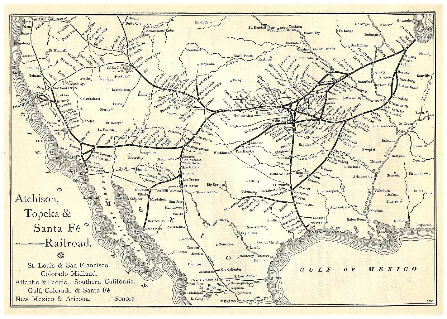
 1891 Atchison, Topeka & Santa Fe Railway route map from Grain Dealers and Shippers Gazetteer.
- Sam Avey, wrestling promoter
- Louise Brooks, dancer, silent film star, and author
- Claude Wendell Horton, Sr., geophysicist, acoustic researcher
- Billy Sandow, manager for World Champion Ed "Strangler" Lewis
- Vivian Vance, actress who played Ethel Mertz on I Love Lucy
References
- ^ a b "American FactFinder". United States Census Bureau. http://factfinder.census.gov. Retrieved 2008-01-31.
- ^ "US Board on Geographic Names". United States Geological Survey. 2007-10-25. http://geonames.usgs.gov. Retrieved 2008-01-31.
- ^ "US Gazetteer files: 2010, 2000, and 1990". United States Census Bureau. 2011-02-12. http://www.census.gov/geo/www/gazetteer/gazette.html. Retrieved 2011-04-23.
External links
- City website
- Cherryvale Police Department
- Cherryvale Museum
- 1912 Kansas: a cyclopedia of state history
Municipalities and communities of Montgomery County, Kansas County seat: Independence Cities Caney | Cherryvale | Coffeyville | Dearing | Elk City | Havana | Independence | Liberty | Tyro

Unincorporated
communityCategories:- Cities in Kansas
- Populated places in Montgomery County, Kansas


Wikimedia Foundation. 2010.